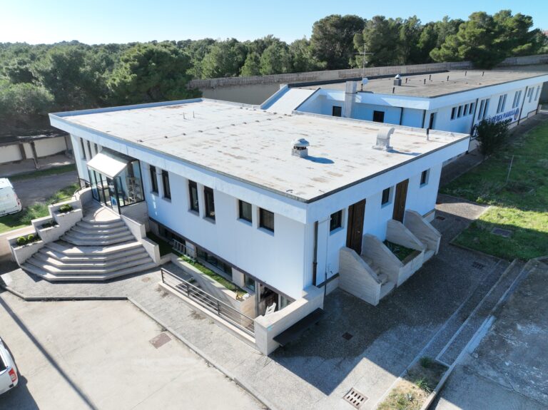
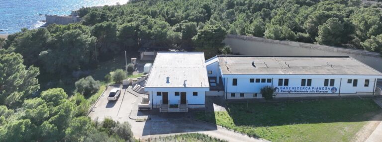
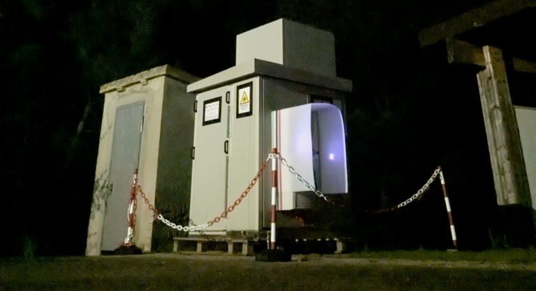
La BRP-CNR ospita e supporta attività e progetti di ricerca nell'ambito di varie tematiche. Alcuni di questi progetti hanno sviluppato infrastrutture di monitoraggio in tempo reale. In questa sezione vengono presentati in forma grafica i dati acquisiti su alcuni parametri.
Nell’ambito del progetto PNRR ITINERIS, nel marzo 2023 è nato un Osservatorio della Zona Critica all’Isola di Pianosa, per studiare gli scambi di carbonio tra suolo-piante-atmosfera.
Rete Idrologica - Idrogeologica
Nell’ambito del Progetto PianosAquifer, ad aprile 2022, è stata effettuata l’installazione definitiva di una nuova stazione meteo multiparametrica e di un nuovo lisimetro di precisione, nonché il completamento e l’attivazione della rete di monitoraggio idrologico e idrogeologico.
NEWS
9 Maggio 2025
Nasce a Pianosa una nuova sala divulgativa – La scienza si apre al pubblico!
Il 5 giugno, all’interno della Base di Ricerca Pianosa (BRP-CNR), sarà inaugurato un nuovo spazio dedicato alla divulgazione scientifica. Nei...
Read More
19 Febbraio 2025
CS Parco Nazionale Arcipelago Toscano e CNR siglano una collaborazione scientifica per lo studio dell’Isola di Pianosa
Comunicato del 19 febbraio 2025 Parco Nazionale Arcipelago Toscano e CNR siglano una collaborazione scientifica per lo studio dell’Isola di Pianosa...
Read More
17 Dicembre 2024
Inizio Progetto LAMP (Lidar-based Atmospheric Measurement at Pianosa)
Il 17 dicembre 2024, presso la Base Ricerca Pianosa, è stato installato il sistema lidar MARCO (Micro-pulse Atmospheric optical Radar...
Read More


