


9 Maggio 2025
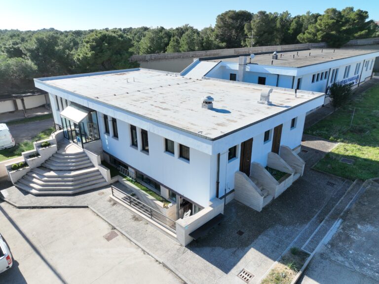
Nasce a Pianosa una nuova sala divulgativa – La scienza si apre al pubblico!
Il 5 giugno, all’interno della Base di Ricerca Pianosa (BRP-CNR), sarà inaugurato un nuovo spazio dedicato alla divulgazione scientifica. Nei...
Read More
19 Febbraio 2025
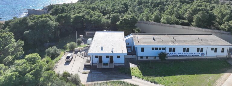
CS Parco Nazionale Arcipelago Toscano e CNR siglano una collaborazione scientifica per lo studio dell’Isola di Pianosa
Comunicato del 19 febbraio 2025 Parco Nazionale Arcipelago Toscano e CNR siglano una collaborazione scientifica per lo studio dell’Isola di Pianosa...
Read More
17 Dicembre 2024
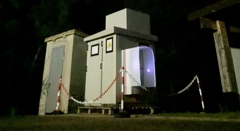
Inizio Progetto LAMP (Lidar-based Atmospheric Measurement at Pianosa)
Il 17 dicembre 2024, presso la Base Ricerca Pianosa, è stato installato il sistema lidar MARCO (Micro-pulse Atmospheric optical Radar...
Read More